|
||||
 |
||||
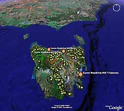
PLANTATION EFFECT | CHEMICALS | FIRE | CARBON | SCIENCE of FORESTRY | STABILITY / INSTABILITY SOCIAL IMPACT | M.I.S. ASSAULT | TOURISM | COMMUNITY LINKS | ARCHIVED MEDIA CLIPS GOOGLE EARTH | CLOUDS | TREES | MOUNTAINS |
||||
|
|
|
||||
|
|
||||
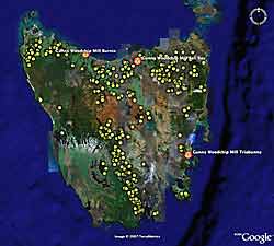
PLANTATION EFFECT | CHEMICALS | FIRE | CARBON | SCIENCE of FORESTRY | STABILITY / INSTABILITY SOCIAL IMPACT | M.I.S. ASSAULT | TOURISM | COMMUNITY LINKS | ARCHIVED MEDIA CLIPS GOOGLE EARTH | CLOUDS | TREES | MOUNTAINS |
||||
|
|